Galimuyod
| Municipality of Galimuyod | |||
| Lage von Galimuyod in der Provinz Ilocos Sur | |||
|---|---|---|---|
 | |||
| Basisdaten | |||
| Region: | Ilocos-Region | ||
| Provinz: | Ilocos Sur | ||
| Barangays: | 24 | ||
| Distrikt: | 2. Distrikt von Ilocos Sur | ||
| PSGC: | 012909000 | ||
| Einkommensklasse: | 4. Einkommensklasse | ||
| Haushalte: | 1792 Zensus 1. Mai 2000 | ||
| Einwohnerzahl: | 10.748 Zensus 1. August 2015 | ||
| Koordinaten: | 17° 11′ N, 120° 31′ O17.18934120.5159Koordinaten: 17° 11′ N, 120° 31′ O | ||
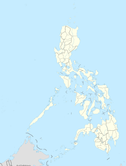
| Geographische Lage auf den Philippinen | |||
| |||

Galimuyod ist eine Stadtgemeinde in der philippinischen Provinz Ilocos Sur. Im Jahre 2015 zählte sie 10.748 Einwohner. In dem teilweise hügeligem Gebiet leben die meisten Menschen von der Landwirtschaft.
Galimuyod wird in folgende 24 Baranggays aufgeteilt:
|
|


