Theydon Bois
| Theydon Bois | |||
|---|---|---|---|
| Koordinaten | 51° 40′ N, 0° 6′ O51.6709120.10126600000001Koordinaten: 51° 40′ N, 0° 6′ O | ||
| OS National Grid | TQ454990 | ||
| |||
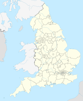
| Traditionelle Grafschaft | Essex | ||
| Einwohner | 4062 (Stand: 2011) | ||
| Verwaltung | |||
| Landesteil | England | ||
| Region | East of England | ||
| District | Epping Forest | ||
| Civil Parish | Theydon Bois | ||
| Website: http://www.theydon.org.uk/ | |||

Theydon Bois ist ein Dorf und civil parish im District Epping Forest in der Grafschaft Essex, England[1]. Im Jahr 2011 hatte es 4062 Einwohner.[2]
Einzelnachweise
Weblinks
Commons: Theydon Bois – Sammlung von Bildern, Videos und Audiodateien
- website
- British history online


