Aistersheim
Place in Upper Austria, Austria

Coat of arms
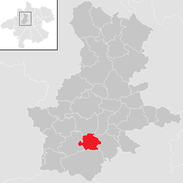
Location in the district
(2018-01-01)[2]
4676
Aistersheim is a municipality in the district of Grieskirchen in the Austrian state of Upper Austria.
Geography
Aistersheim lies in the Hausruckviertel. About 26 percent of the municipality is forest, and 67 percent is farmland.
References

Wikimedia Commons has media related to Aistersheim.
- v
- t
- e
Municipalities in the district of Grieskirchen
- Aistersheim
- Bad Schallerbach
- Eschenau im Hausruckkreis
- Gallspach
- Gaspoltshofen
- Geboltskirchen
- Grieskirchen
- Haag am Hausruck
- Heiligenberg
- Hofkirchen an der Trattnach
- Kallham
- Kematen am Innbach
- Meggenhofen
- Michaelnbach
- Natternbach
- Neukirchen am Walde
- Neumarkt im Hausruckkreis
- Peuerbach
- Pollham
- Pötting
- Pram
- Rottenbach
- Sankt Agatha
- Sankt Georgen bei Grieskirchen
- Sankt Thomas
- Schlüßlberg
- Steegen
- Taufkirchen an der Trattnach
- Tollet
- Waizenkirchen
- Wallern an der Trattnach
- Weibern
- Wendling
Authority control databases | |
|---|---|
| International |
|
| National |
|
 | This Upper Austria location article is a stub. You can help Wikipedia by expanding it. |
- v
- t
- e


