Hagen Fjord
81°40′N 25°30′W / 81.667°N 25.500°W / 81.667; -25.500Ocean/sea sources Wandel Sea Basin countries Greenland Max. length 90 km (56 mi) Max. width 19 km (12 mi)
Hagen Fjord is a fjord in north-eastern Greenland. It was named after Niels Peter Høeg Hagen, the cartographer of the main exploration team of the ill-fated Denmark expedition.
Geography
It opens into the southern shore of the Independence Fjord at its northern end, between J.C. Christensen Land to the west and Mylius-Erichsen Land to the east, near the confluence of Denmark Sound and Independence Fjord.[1] The Hagen Glacier has its terminus at the head of the fjord.
-
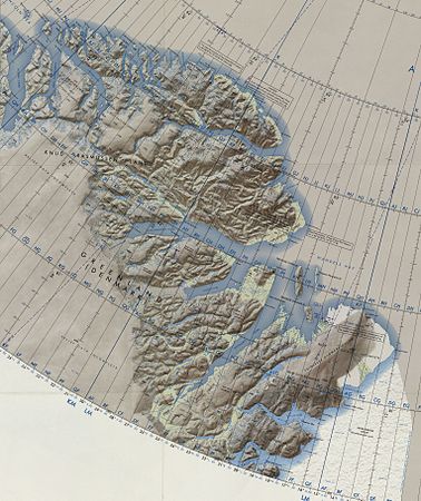 Map of Northeastern Greenland
 -
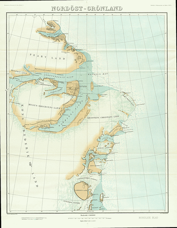 1911 map of NE Greenland showing the Denmark Fjord


See also
References
- ^ Prinsesse Thyra Ø
- v
- t
- e


