Tardoire
River in France


• location
• coordinates
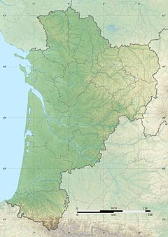
The Tardoire (French pronunciation: [taʁdwaʁ]) is a river in southwestern France, left tributary to the river Bonnieure. It is 114 km (71 mi) long.[1] Its source is in Châlus, in the Haute-Vienne département. It flows into the Bonnieure near Saint-Ciers-sur-Bonnieure. Over much of its length, the Tardoire flows underground. Its largest tributary is the Bandiat.[1]
It flows through the following départements and towns:
- Haute-Vienne: Châlus, Cussac
- Charente: Montbron, La Rochefoucauld, Rivières (a small municipality next to La Rochefoucauld)
References
- ^ a b Sandre. "Fiche cours d'eau - La Tardoire (R1--0400)".
Wikimedia Commons has media related to Tardoire.
- v
- t
- e
This article related to a river in France is a stub. You can help Wikipedia by expanding it. |
- v
- t
- e


